In order to create a topographic map it is imperative to
understand the Dual Frequency GPS equipment.
In order to do this we have to know what a dual frequency receiver
does. This is a signal capturing system that can select and simultaneously receive
signals on two frequency channels during a specific time period. This is a good
system to use to gathering point data that is incredibly accurate and can
accurately gather points to within a centimeter of where they were taken. In
this introductory lesson we learned how to take different points and then use
the data to create a map in ArcGIS.

RTK Unit
The study area that we have selected was the area that is
outside of Davies and UWEC Phillips Science Hall. This area allowed us to
collect numerous different points such as trees, garbage cans, and light polls.
This was useful as an introductory course in the Surveying. The surveying
equipment utilized is the RTK GPS Unit. RTK stands for Real Time Kinematic. It is
used for extremely high accurate positional accuracy by using a consistent
connection to the internet via Wi-Fi. Every time we collect a point using the
RTK GPS Unit it collects 30 points and averages all of them out. This allows
for extremely accurate data collection.

RTK Unit Screen
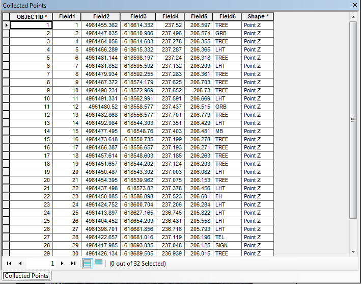
When collected there is also XYZ data from the GPS unit.
This can then be used in ArcGIS by selecting the tool import XY and map out the
points in ArcGIS. The points can then be redone in ArcMap by selecting the
projection which is UTM zone 16. The XYZ data can then be used to map where the
points will be located. From here it was simply selecting the points in the
attribute table by what they were in the definition which was entered into the
GPS unit upon capture. From here it is simple to use this data to create a
basic survey map.
The results of this data show very accurate GPS collected
points using the RTK GPS Unit. This is a useful tool for surveying points that
require accurate information. An example of this would be road surveying and
forestry work. The results of the captured points are incredibly accurate. This
RTK GPS Unit also has the added benefit of allowing us to input attribute data
directly on capture versus where it would be necessary to know what to capture
before surveying with other equipment.

Collected Survey Points
To conclude the RTK is a useful tool when accuracy is
important to the application at hand. The only downside is that this a large
unit and is slightly cumbersome to carry around everywhere. The GPS unit is
also great since it allows on the fly attribute creation. Overall this is a
very useful tool that I look forward to working with in the future.
No comments:
Post a Comment